Contact us
If you are interested, feel free to contact us!
We look forward to working together!
Mobile
Lőrinc Márkus
+36 20 275 7124
Máté Bene
+36 20 587 1138
Email


We use photogrammetry and laser technology to create 3D models of objects or even larger buildings. These services can be extremely useful for museums dealing with artefacts, but also for architects and engineers.

We take spherical panoramic photos with a 360-degree camera, from which we combine a virtual tour. Virtual tours can be easily fitted to Google Maps so you can stand out even more from the crowd.

Using a laser scanner, we create a 3D point cloud of the current state of smaller and larger objects. Laser scanning can be excellent for modelling works of art, surveying buildings and interiors.

An orthophoto is made from hundreds of detailed photographs. It can give a detailed view of a larger object and can also help architects, who are designing building plans.

With our drone-based forestry survey and proprietary software, we accurately determine the number of trees, their height, and diameter. From the data, we calculate volume and basal area, aiding in forestry planning and tree inventory.
In the summer of 2023, we surveyed the entire District VI using a drone. We made a thermal and a regular orthophoto of the district using a thermal camera drone.
(Read more..)
In 2018, on behalf of an architectural firm, we made external orthophotos of the facades and the roof of the Hungarian National Bank using a drone.
For Ipoly Erdő Ltd., we surveyed more than 50 hectares of forest with a drone. Using our proprietary software we determined the number of trees, height, volume and basal area.
In 2023, we created colored 3D models of the newly introduced Herendi porcelains using photogrammetric methods. Some of these can be viewed on our website.
In 2018, in connection with the station’s renovation, we made external orthophotos of all the facades and the hall roof using a drone.
For Gyulaj Ltd., we have already surveyed more than 30 hectares of forest with a drone. During the drone forestry surveys we measured the number of trees, their height and volume.
On behalf of an architectural firm, we took external and overhead orthophotos of the office using a drone.
In 2022, in connection with the border crossing renovation, we created a basic aerial map of the entire border crossing and its surroundings using a drone.
In 2023, we made a virtual tour of one of PPG Trilak’s factories.
We have carried out several building surveys for LPP Hungary Kft. We created 3D laser scan point clouds and photographic documentation of the buildings.
In early 2024, we surveyed a petrol station’s advertising column using a laser scanner and a drone on behalf of Orlen Hungary Kft. The new advertising column will be built based on these surveys.
In 2019, we took external orthophotos with a drone of the internal medicine, neurology, and urology buildings located on the campus.
In addition to the ones mentioned above, we have numerous satisfied clients by our side.
Our team has been working on 3D models, drone orthophotos, laser point clouds and virtual tours for years. Our basic principle is that we seize every opportunity to take advantage of the possibilities offered by technology. We prepare all our projects with flexibility, tailored to individual needs, in order to offer the best solutions for the requests that arise.
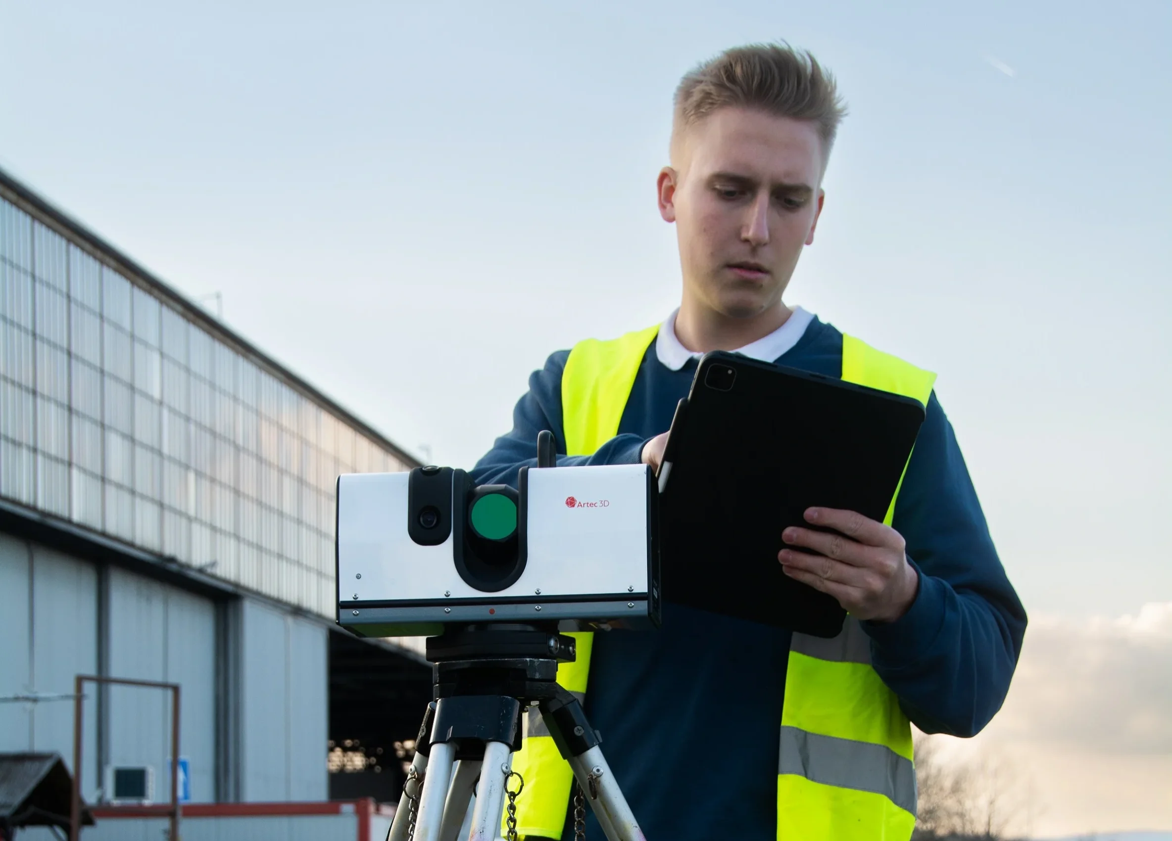
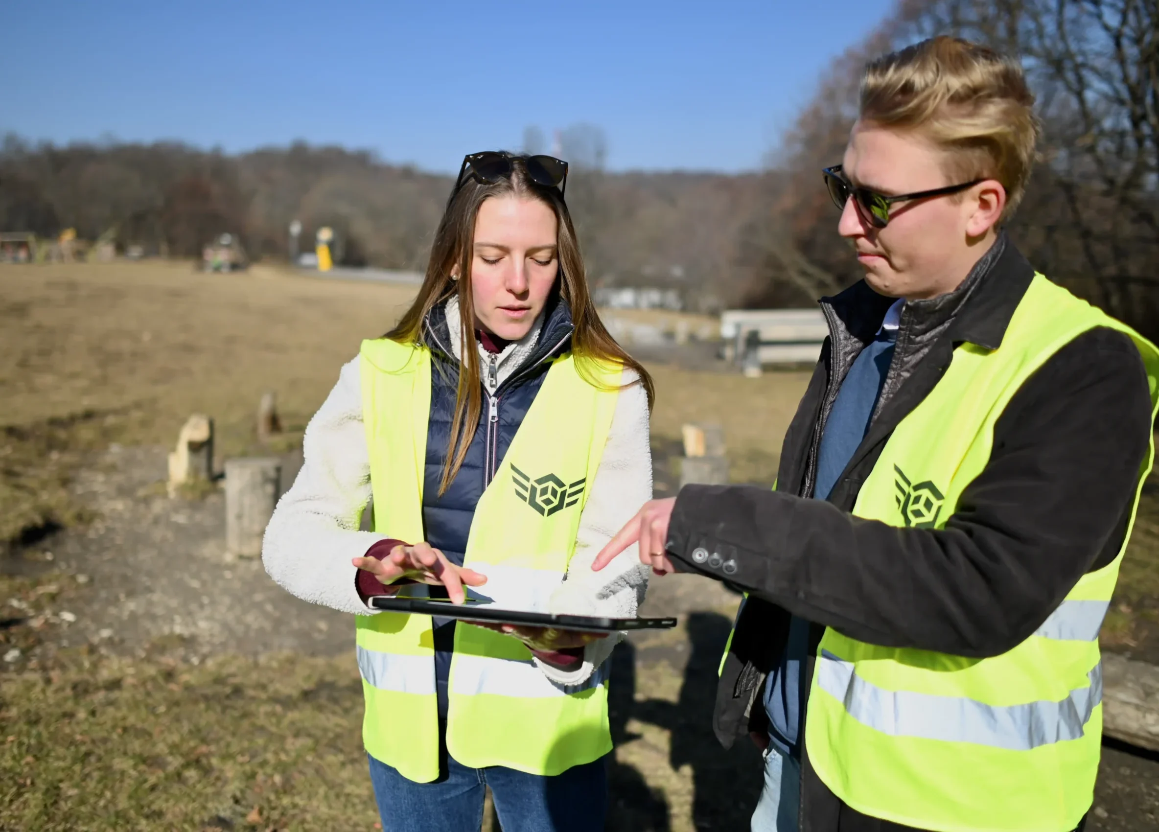
We work to implement our client’s needs with innovative technologies and professional tools, and to save our clients money, time and energy during our projects.
We provide customized pricing for each project.
Our base hourly rate: net 6,000 HUF / hour.
No call-out fee within the Budapest area.
Outside Budapest: net 200 HUF / km.
If you are interested, feel free to contact us!
We look forward to working together!
Lőrinc Márkus
+36 20 275 7124
Máté Bene
+36 20 587 1138
Provide your email address or phone number, and our colleague will contact you within 1 hour.
Provide your email address or phone number, and our colleague will contact you within 1 hour.
Our site uses cookies.
