
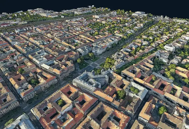
3D point cloud
Inspect spatial data as a point cloud in the browser.
Our software solutions
Explore MapperTool and TreeDetect. Online image processing, map viewing and analysis for the results of drone surveys.
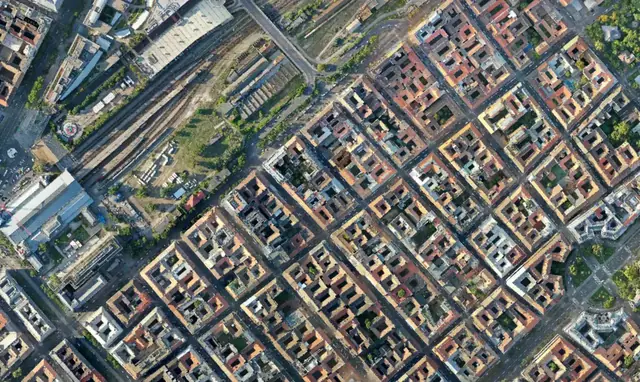
MapperTool processes uploaded imagery into orthophotos, DSM/DTM elevation models and 3D point clouds. Suitable thermal or multispectral data can also produce thermal and NDVI maps.
The online viewer supports layer switching and distance, area, height and volume measurements. You can inspect processed data in the browser and use the survey results for your measurement task.
Results can be shared and downloaded in standard formats. Processing and viewing take place on the separate MapperTool product site; the official documentation explains how to use the tools.
Orthophotos, surface models, terrain models and 3D point clouds from uploaded survey imagery.
Distance, area, height and volume measurements in the online viewer.
Shareable results and standard file formats for further work.
TreeDetect supports forest managers and drone pilots from survey planning to reporting. It processes overlapping aerial photographs or LiDAR data to calculate the information needed for forest analysis.
Processing provides tree count, height, diameter, basal area and calculated wood volume. Individual tree data and summaries help you assess the forest stand.
Results are available through interactive maps, tables and reports. The official TreeDetect website and documentation explain how to use the product and its processing tools.
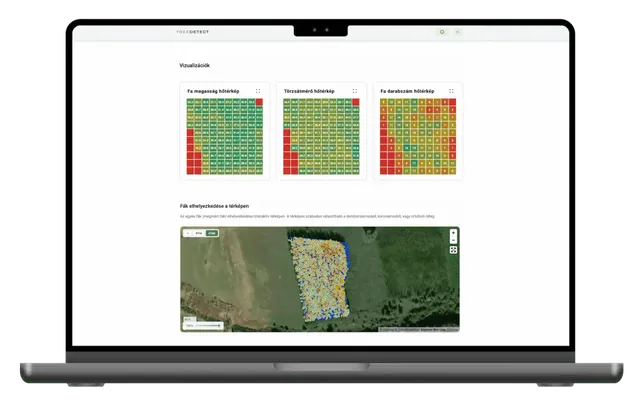
Analysis of overlapping aerial photographs and LiDAR data, from survey to report.
Tree count, height, diameter, basal area and calculated wood volume.
Multiple views of the results help you assess the forest stand.
Official MapperTool images show point-cloud viewing and volume measurement. The survey data and your task determine the appropriate output.
Inspect spatial data as a point cloud in the browser.
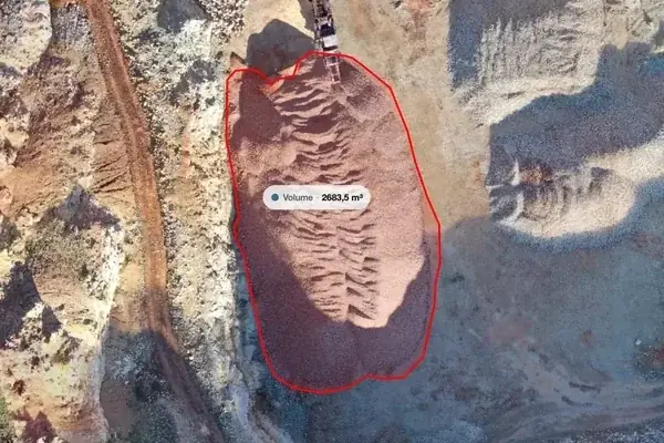
Analyse processed data using measurement tools in the online viewer.
Request a quote
Ask us about MapperTool photogrammetry processing or TreeDetect forestry analysis.
Contact